
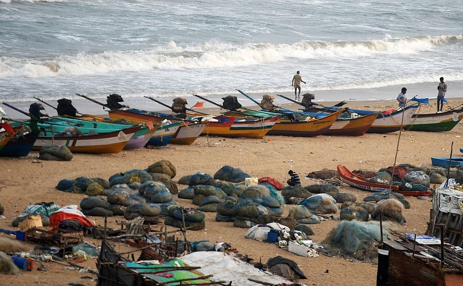
Authorities in four districts of Tamil Nadu on Tuesday prepared to move people living in low-lying areas to safety by Wednesday evening as the IMD forecast that Cyclone Gaja is expected to make landfall between Cuddalore and Pamban in Rameswaram island on Thursday afternoon.
Village administrative officials and those belonging to revenue department used public address system to ask people living in low-lying areas to be prepared to move to safety, if necessary.
“We have not yet begun evacuation process. We will wait till Wednesday for the IMD update and will proceed if necessary. For now, villagers are being told about the Cyclone and that they should be prepared to move to safety once officials ask them to do so,” Nagapattinam district collector S Suresh Kumar told DH.
State Revenue Minister and Municipal Administration Minister – R B Uthayakumar and S P Velumani – said the government was prepared to handle the cyclone and all coastal district collectors have been asked to take necessary precautions. They said relief centres have been kept ready for people to be lodged and NDRF teams have already reached the districts to assist the State Disaster Response Force.
In its latest update, the IMD said Cyclone Gaja is likely to move west-southwestwards and intensify further into a Severe Cyclonic Storm during next 24 hours. “While moving west-southwestwards further, it is likely to weaken gradually on 15th November and cross Tamil Nadu coast between Pamban and Cuddalore as a cyclonic storm during November 15 afternoon,” the IMD said.
It also warned that a storm surge of height of about 1.0 meter above astronomical tide is very likely to inundate low lying areas of Nagapattinam, Thanjavur, Pudukkottai and Ramanathapuram districts of Tamil Nadu and Karaikal district of Puducherry at the time of landfall.
The cyclone, which will pack peak winds of 110 kmph, is likely to make its landfall between Cuddalore and Pamban on the forenoon of November 15, the IMD said, adding that the rains will begin from Wednesday evening.
Major damage to thatched huts and kutcha houses and roads, power and communication lines, and minor damage to pucca roads, breaking of tree branches, uprooting of large avenue trees and damage to paddy crops, banana, papaya plants and orchards are expected when the cyclone make its landfall.
Tamil Nadu has been witnessing landfall of cyclones almost every year – if it was Cyclone Vardah that hit the Chennai city in in 2016, in 2017 it was Cyclone Ockhi that left a trail of destruction in Kanniyakumari district and parts of Kerala.