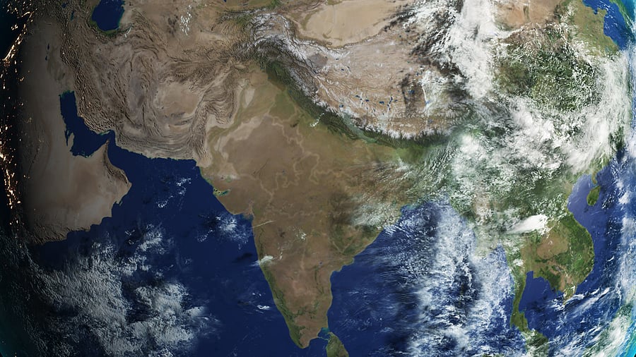
A satellite view of the Indian subcontinent. For representational purposes.
Credit: iStock Photo
New Delhi: India Meteorological Department on Monday adopted a home-grown weather forecasting system with a spatial resolution of six km - the highest in the world - that will allow the agency to come out with village level weather forecasts in the coming months.
The global forecasting system currently used by the IMD has a spatial resolution of 12 km, which means the scientists generate weather forecasts for every 12 km x 12 km grid or an area as big as 144 sq km. They can’t give a forecast for any area smaller than that.
This will change with the indigenous Bharat Forecasting System that enables forecasting for each 6 km x 6 km grid or 36 sq km of area.
“With the Bharat Forecasting system, we can generate village panchayat level forecasts. Nobody else in the world gives a forecast with 6 km resolution,” M Ravichandran, Secretary, Union Ministry of Earth Sciences told DH.
Developed by the Indian Institute of Tropical Meteorology, Pune the forecasting system was tested and validated by scientists from IITM, IMD and Nation Centre for Medium Range Weather Forecasting in the last two years. From the current monsoon season, the IMD will use it for operational purposes.
Union Science Minister Jitendra Singh said the new forecasting system would help reduce crop loss and anomalies by improving extreme weather predictions — with a 30% improvement in extreme rainfall forecasts and a 64% enhancement in core zones.
“One of the advantages is that we will be able to capture the possibility of heavy rainfall at a smaller location. We tested the new model for cyclones and heavy rainfalls in the last two years,” said R Phani Murali Krishna, one of the lead scientists from IITM that developed the model.
The BFS will be the only global numerical weather prediction system in the world deployed at such a high resolution, representing a major advancement in India's forecasting capabilities.
Similar forecast models run by the European, British and US weather offices have a resolution between 9 km and 14 km.
“Globally the best model is a 9 km one used by the European Centre for Medium Range Weather Forecast. We have tested our model for two monsoon seasons and found it good to generate sub-district level forecasts,” said K J Ramesh, former Director General of Meteorology at IMD.
Operationalisation of the new model was made possible due to the installation of Arka supercomputer at IITM campus last year with a capacity of 11.77 petaflops and storage capacity of 33 petabytes.
The previous supercomputer 'Pratyush' used to take up to 10-12 hours to run the forecasting model. Arka, on the other hand, performs the same data-crunching within four hours.
"The tropical region is marked by chaotic weather. The change in weather patterns is unpredictable and higher resolution models are required to capture such spatial changes," Ravichandran said, noting that the model’s spatial resolution becomes 9 km towards the poles.
