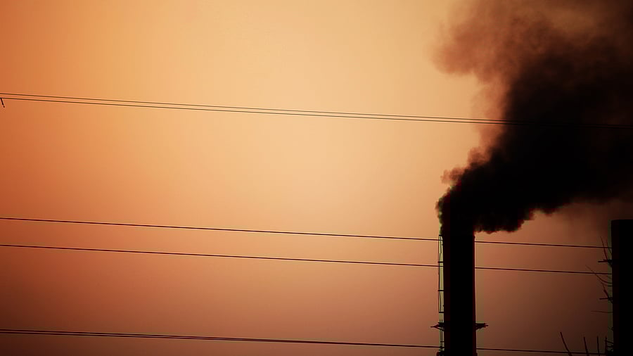
Image of pollution for representative purposes.
Credit: iStock Photo
Mumbai: The Indo-Gangetic airshed remains the most polluted airshed in the country, consistently non-compliant during winter, summer, and post-monsoon season while North-Eastern Region are emerging concerns, according to new satellite-based assessment released by the Centre for Research on Energy and Clean Air (CREA), on Tuesday.
Drawing on high-resolution satellite data, the report presents comprehensive annual and seasonal population-weighted PM2.5 concentrations analyses across India’s districts, states, and airsheds exposing extreme regional disparities and calling for urgent, data-driven interventions.
The North-East airshed is an emerging concern, with states such as Assam and Tripura maintaining elevated PM2.5 levels throughout the year. During the monsoon season, all airsheds except Northeast airshed were below the annual National Ambient Air Quality Standard (NAAQS) of 40 μg/m3. However, the rapid return to high PM2.5 levels post-monsoon emphasises that baseline emissions, not meteorology, are the fundamental problem.
“Without airshed-based governance frameworks, satellite monitoring integration into NCAP, sectoral emission targets, and accountability mechanisms, millions in non-metropolitan India will remain locked out of clean air policy and locked into chronic pollution exposure,” said Manoj Kumar, Analyst, CREA.
“To make air quality information more accessible and actionable, CREA is developing daily PM2.5 concentration maps for India. These maps will soon be available for public use, helping policymakers, researchers, and citizens track pollution patterns and support data-driven air quality management,’ he added.
Annual satellite analysis finds that 60 per cent of districts (447 out of 749) exceed India’s NAAQS for annual PM2.5 while none meet the World Health Organization (WHO) guideline of 5 μg/m3.
Assam (11 districts) and Delhi (11 districts) together account for nearly half of the top 50 most polluted districts, followed by Haryana and Bihar with seven each.
Delhi, Tripura, Punjab, Haryana, Himachal Pradesh, Meghalaya, and Chandigarh maintained 100 per cent district-level exceedance in all seasons except for monsoon.
Exceedance of the PM2.5 NAAQS is highest in winter with 616 of 749 districts (82 per cent), remains significant in summer with 405 districts (54 per cent), drops sharply during the monsoon to 74 districts (10 per cent), and it surges again post-monsoon to 566 districts (75 per cent).
Of the 33 states and union territories assessed, 28 had at least one district exceeding the annual NAAQS, and none met the annual WHO guideline.
Delhi consistently ranks as the most polluted state, recording the annual population-weighted mean concentration of 101 μg/m3, 2.5 times the NAAQS and 20 times the WHO guideline.
Southern states with annual PM2.5 levels below the NAAQS have a clear policy opportunity to move toward WHO interim targets by adopting stricter, region-specific limits.