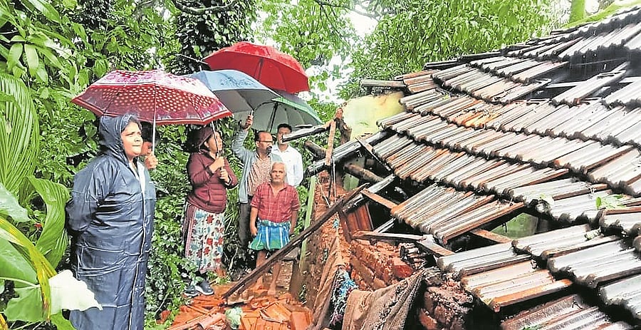
A file photo of Deputy Commissioner Meena Nagaraj inspecting a house damaged near Mudigere.
DH Photo
As many as 163 locations have been identified by the district administration that are prone to landslides. After closely monitoring for over a year, these locations have been identified in the taluk. Of the 163 vulnerable areas, the Geological Survey of India (GSI) has specifically flagged 25 locations where human settlements and roads are at direct risk.
In Guddethota village of Koppa taluk, 17 families live in constant fear during the monsoon, every year. Among these, eight families live in the most vulnerable area, and land under Survey Number 153 has been earmarked for their relocation.
Until the relocation is completed, arrangements have been made to temporarily shelter these families elsewhere during heavy rains.
Among the dangerous roads, the collapsed road near Kavikal Gandi on Bababudangiri road has been rebuilt with a retaining wall at a cost of Rs 90 lakh. However, no progress has been made yet on other landslide-prevention works here.
For the Mullayyanagiri road, landslide-prevention works have been approved at two locations at a cost of Rs 85 lakh. Additionally, Rs 40 lakh has been approved for the Kogre–Kallugudde road in Koppa taluk, Rs 1 crore for Habbikallu road and Rs 75 lakh for Channakallu road.
These works have been approved by the Public Works Department (PWD) but are yet to commence.
Meanwhile, Rs 4.80 crore has been sanctioned through the PWD to repair the collapsed road near Narve in Koppa taluk. Officials said that once these works are completed, landslide risks in the highly vulnerable zones can be significantly reduced.
Relief centres
As the district continues to receive heavy rain, preparations are also at war-footing to relocate the families that are at risk, to safe locations, in case the soil gets loosen up due to intense rainfall and rising moisture content in it. A total of 75 relief centres have been identified to provide shelters during emergency relocation.
Charmadi Ghat
The GSI has identified three high-risk landslide points in Charmadi Ghat. The Deputy Commissioner has written to the National Highway Division authorities seeking immediate rectification. In National Highway 163, two locations in Sringeri taluk are at risk of landslide.
To monitor landslide-prone areas, one nodal officer has been appointed for each Gram Panchayat jurisdiction — a total of 57 officers.
A 24x7 Disaster Management Control Room has also been established. The district administration is also overseeing 164 bridges and 51 culverts.
To prepare for emergency response, 48 earth movers, 61 Hitachis, 74 tractors, and 263 tippers are being kept in working condition. Besides, 108 skilled swimmers and 330 volunteers have been identified and trained for rescue operations, said Deputy Commissioner Meena Nagaraj.