Bengaluru: In the wake of an increase in the number of landslides in Karnataka, the State Disaster Management Department has adopted a multi-pronged action plan that seeks to strengthen the first responders on the ground while coming up with department-specific standard operating procedures (SOPs) for mitigation.
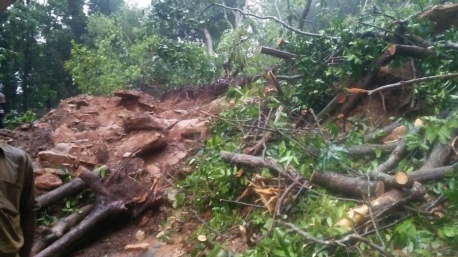
Geological, morphological and human-induced activities have been identified as the three primary drivers for landslides in Karnataka, killing about 100 persons between 2006 and 2024. As the recurrence of the incidents increased post 2018, officials looked into 57 studies conducted by the Geological Survey of India (GSI) to develop the action plan.
Of the 31,231 sq km area in state found to be susceptible for landslides, a majority (24,682 sq km) of the extent comes under 'low susceptibility' area, followed by area with moderate susceptibility (5,385 sq km) while 1,163.8 sq km is the extent of 'high susceptibility' area. However, low susceptibility areas saw a whopping 732 landslides between 2006 and 2024, followed by moderate (517) and high susceptibility areas (154).
The Karnataka State Natural Disaster Monitoring Centre (KSNDMC) is working with Geological Survey of India (GSI) and other institutes for collaborative studies which will eventually help in developing early warning systems (EWS).
Principal Secretary to Government, Disaster Management, V Rashmi Mahesh said the department's multi-pronged approach was rooted in the community participation, especially while adopting measures like evacuation. "The set of measures for different departments has been designed by keeping in mind the active participation of communities. The emphasis is on spreading awareness and capacity building to avoid alarmist approaches," she said.
The officer said the department was working with GSI to come up with better measures for forecasting landslide events.
"An EWS specifically for landslides is in the works. However, instead of waiting for it, we are looking at parameters like intense rain thresholds and historical data to provide timely information to the communities," she added.
The SOPs are a combination of basic and major interventions tailored for the needs of each line department, including Rural Development and Panchayat Raj, Urban Development Department, Public Works, Education, Women and Child Welfare and others.
While identifying the signs of a landslide by daily monitoring of weak spots or road curves, clearing the blockages in waterways, dissemination of weather alerts from basic interventions, officials will involve communities in making bigger decisions like evacuation of vulnerable populations to designated relief centres based on red alerts.
The districts with a high number of vulnerable locations will pre-deploy disaster response teams, keep a watch on weak infrastructure. Departments have been told to ensure stability of infrastructure demolition of unused school buildings that are found vulnerable.