
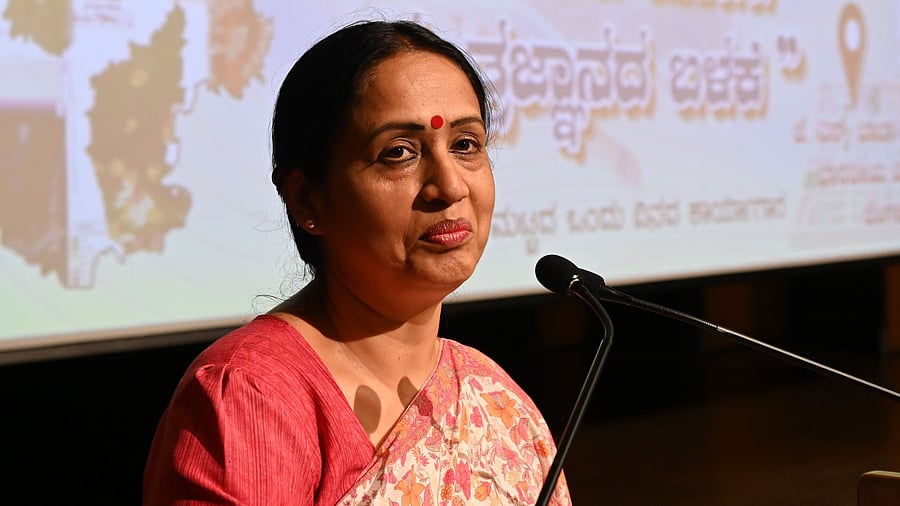
Shalini Rajneesh, Chief Secretary of Karnataka, at the workshop at the IISc campus on Monday.
Credit: DH Photo/BK Janardhan
Bengaluru: Senior government officials and scientists called for greater interdepartmental coordination to achieve tangible results at the one-day state-level workshop on "Geospatial Applications for District Level Planning" at the JN Tata Auditorium, IISc campus, Bengaluru.
The Karnataka State Council for Science and Technology (KSCST), in collaboration with the Rural Development and Panchayat Raj Department, Government of Karnataka, hosted the workshop, which brought together senior government officials and scientists to explore how geospatial technologies can enhance district-level governance.
The formal inauguration was led by Shalini Rajneesh, Chief Secretary of Karnataka, who spoke on the critical role of data-driven governance in rural and urban planning. Shalini addressed the audience on leveraging Geographic Information System (GIS) data and encouraging public participation to bring about meaningful change.
"NRDMS and GIS are great tools, but they aren’t used well. In my experience, when you use scientific data to propose roads, gram panchayats are always more enthusiastic to take up the work,” she added.
"Around 2,000 TMC of rainwater flows into the Arabian Sea every year from Karnataka; meanwhile, the state faces a deficit of 200 TMC. Using GIS, 1,000 suitable locations for vented dams were identified. With people’s participation and interdepartmental coordination, many problems can be addressed,” she stressed.
UT Vijay presented the role of Natural Resources Data Management System (NRDMS) in district-level planning. He outlined the various sectors where NRDMS can be applied — from the obvious ones like agriculture, disaster management, and fisheries to areas such as Scheduled Tribes welfare and social welfare.
Sunil S Kulkarni of Isro spoke about the use of satellite data for planning. In line with Vikram Sarabhai’s vision of using advanced technologies to solve societal problems, Kulkarni highlighted applications of space technology such as early flood warnings, forest fire alerts, and groundwater and mineral mapping.
Rajesh NL, Director of the Karnataka State Remote Sensing Applications Centre (KSRSAC), delivered a talk on the application of remote sensing technology for district-level planning, focusing on practical implementations across Karnataka.
Stressing the vast database of the Karnataka-GIS, Rajesh said, “We have 3,600 ground control points and over 700 data layers, covering 25 lakh assets. This adds up to upwards of 400 TB of data.”
Speaking about KSRSAC’s Karnataka Forest Fire Alert Monitoring System, he noted, “This year alone, we have received 7,500 alerts due to the streamlining of the system.”