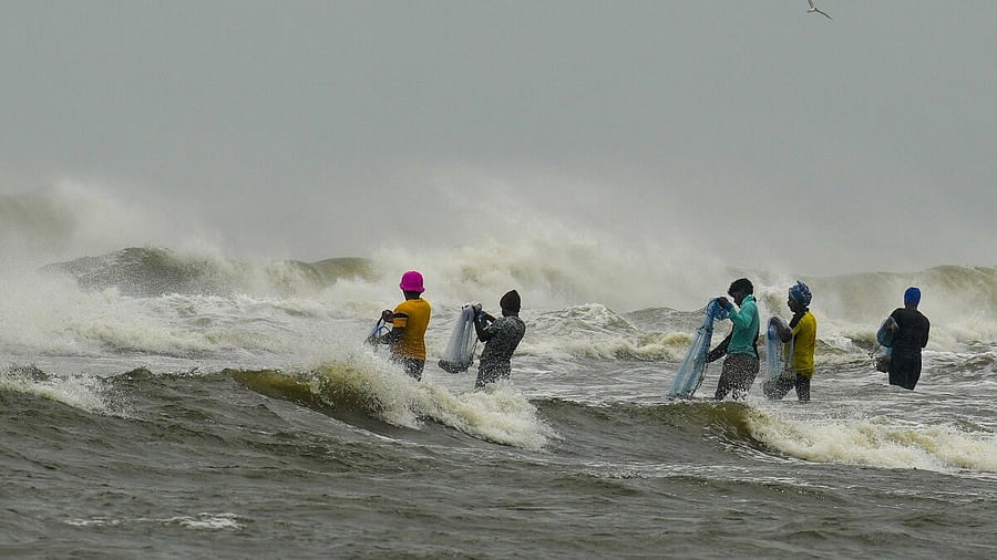
Fishermen use nets to catch fish despite an advisory issued by the India Meteorological Department (IMD) not to venture into the sea as a deep depression over the Bay of Bengal is expected to intensify into cyclone 'Fengal', in Chennai.
Credit: PTI photo
After playing truant for two days, the Deep Depression over southwest Bay of Bengal intensified into Cyclone Fengal on Friday and is expected to make landfall between Karaikal and Mamallapuram on Saturday afternoon accompanied by heavy to extremely heavy rains across coastal districts of northern Tamil Nadu and Puducherry.
The cyclone, which was named by Saudi Arabia, is expected to pack winds with a speed of 70 to 80 km per hour gusting up to 90 km per hour, bringing widespread rainfall across coastal districts of Tamil Nadu and Puducherry till December 1.
With MeT department predicting extremely heavy rainfall in many areas, the district administrations of Chennai, Villupuram, Cuddalore, Tiruvallur, Chengalpattu, and Villupuram declared holiday for schools and colleges on Saturday, even as the state government decided to suspend traffic on the East Coast Road and Old Mahabalipuram Road during the landfall.
The government also asked private companies to allow their employees to work from home and advised people to stay indoors unless absolutely necessary. The Greater Chennai Corporation announced that its parks will be shut on Saturday due to Cyclone Fengal, while the State Disaster Management Authority urged people to avoid visiting beaches, amusement parks and attending recreational events.
Asking district collectors to take precautionary measures, the government said about 1,193 JCBs, 806 boats, 977 generators, 1,786 tree cutters, and 2,439 motor pumps have been kept ready in nine districts of Chennai, Nagapattinam, Mayiladuthurai, Tiruvarur, Thanjavur, Cuddalore, Tiruvallur, Chengalpattu, and Kanchipuram. NDRF and SDRF teams have also been rushed to the districts that are likely to be affected by the cyclone.
At 5.30 pm on Friday, the Cyclone was moving at a speed of 15 kmph and lay centred about 240 km east-northeast of Nagapattinam, 230 km east-southeast of Puducherry and 250 km southeast of Chennai.
“It is likely to move west-northwestwards and cross north Tamil Nadu-Puducherry coasts between Karaikal and Mahabalipuram close to Puducherry as a cyclonic storm with a wind speed of 70-80 kmph gusting to 90 kmph during afternoon November 30,” the Regional Meteorological Centre said in its bulletin issued at 8.30 pm.
The weather system which formed as a depression in the Bay of Bengal earlier this week has been playing truant for the past few days – it lay stationery for several hours, kept increasing and decreasing its speed, and was expected to turn into a deep depression without intensifying into a cyclonic storm.
At the time of the landfall, S Balachandran, Director, RMC, Chennai, said, storm winds with a speed of 70-80 kmph gusting to 90 km per hour. “The system is being constantly monitored,” Balachandran added.
Independent weather bloggers too said heavy rains will start to lash Chennai and its neighbouring districts from Friday night. Pradeep John, an independent forecast expert, said the more bands will fall and rains with breaks will happen with varying intensity.
“The cyclone might cross tomorrow between Puducherry to Chennai and it is an ideal place for Chennai rains,” he said.