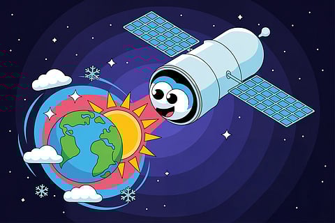
Every time you check a weather app or listen to a forecast on TV, there is a good chance that a satellite hundreds of kilometres above Earth has played a role. These silent observers orbit the planet day and night, watching the atmosphere and oceans for the smallest changes.
Weather satellites carry highly sensitive instruments. Some take pictures of the clouds in visible light, much like an ordinary camera. Others can “see” in infrared, which detects heat, allowing scientists to measure the temperature of land, sea, and clouds. Special microwave sensors even measure water vapour in the air, which is vital for predicting rainfall. Together, these tools give a detailed picture of Earth’s constantly changing atmosphere.
The data from satellites is sent back to Earth every few minutes. Supercomputers then step in, processing billions of numbers. Using complex mathematical models, they simulate how the atmosphere is likely to behave in the coming hours and days. For example, if a satellite shows a large bank of moisture over the ocean, the computer model can predict whether it will become rain when it reaches land.
Satellites are especially important for tracking extreme weather events. They can detect the swirling clouds of a cyclone before it hits the coast, or heavy rainfall building up over mountain ranges that might cause floods. This early warning system helps governments alert communities, saving lives and reducing damage.
The first weather satellite sent 19,000 pictures
TIROS-1, launched in 1960, worked for only 78 days but still sent thousands of images of Earth’s weather.
Some satellites circle Earth in just 100 minutes
They orbit so fast that they give us fresh weather updates almost 14 times a day.
Geostationary satellites stay fixed in the sky
At 36,000 kilometres above Earth, they move with the planet’s rotation and always watch the same region.