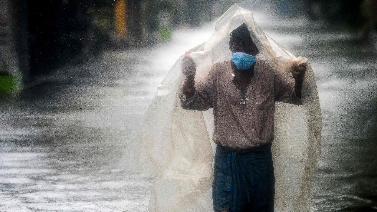
This metropolis and northern districts in Tamil Nadu are bracing for extremely heavy rains on Thursday under the influence of a low pressure in the Bay of Bengal, just under a week after the city was battered by heavy rains inundating several localities.
MeT department and independent weather bloggers said Chennai, Kanchipuram, Tiruvallur, Chengalpattu, Cuddalore districts in the state and neighbouring Puducherry will be pounded by rains that are likely to begin Wednesday midnight. Most of the party received light rains on Wednesday but the weather bloggers said the intensity will increase gradually.
As MeT forecast heavy rains, the Greater Chennai Corporation (GCC) said it was prepared to face the rains. Sources said over 600 motor pumps are kept ready to drain the rain water from localities and subways immediately. The GCC has also kept relief centres and community kitchens ready to cater to the affected.
The city received over 40 cm of rainfall in just a week due to heavy rains last week. Three reservoirs – Red Hills, Sholavaram, and Chembarambakkam – that supply drinking water to the city are getting ready to release surplus water.
In its update, the MeT said the low pressure area over Southeast Bay of Bengal now lies over Southeast & adjoining Southwest Bay of Bengal with the associated cyclonic circulation extending up to 5.8 km above mean sea level.
Pradeep John, a weather blogger, said the November 18 event for Chennai is a possibility with the low pressure area located perfectly such that the entire northern convergence falls over the Chennai belt.
“We can see how the massive convergence is happening tomorrow morning over the Chennai belt and has now shifted a little south too. Right from Chennai, Tiruvallur, Kancheepuram, Chengalpattu, Villupuram, Ranipet and parts of Tiruvannamalai, Cuddalore and Pondy will see rains as the massive convergence zone is seen even 100-200 kms of the coast too,” he said.
Another weather blogger, K Srikanth, said North coastal Tamil Nadu between Cuddalore and Chennai may come under some heavy spell of rains on Wednesday as Bay LPA is all set to recycle rain bands. Increasing intensity rains will peak from Thursday morning. Cuddalore to Nellore remain vulnerable,” he said.
Check out latest videos from DH:
Deccan Herald is on WhatsApp Channels| Join now for Breaking News & Editor's Picks