
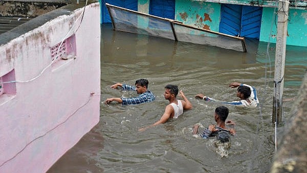
Residents wade through a waterlogged alley after heavy rainfall in a town in MP. (File image for representation)
Credit: Reuters Photo
New Delhi: Although El Nino suppresses overall monsoon season rainfall across India, a new study finds that it also, counter-intuitively, sharply increases the likelihood of extreme daily downpours in the country’s wetter regions.
Over a vast central swath stretching from Gangetic West Bengal and Odisha in the east to Gujarat and Rajasthan on the west, the likelihood of such high-intensity rain is about 50% higher in the El Nino summers, compared to La Nina years.
El Nino, an unusual warming of the Pacific Ocean, plays havoc with weather patterns across the globe. It is generally adverse for the south west monsoon in India though there are a few exceptions. Its opposite La Nina or cooling of the Pacific is good for monsoon.
During El Nino years, warmer Pacific waters trigger unusual patterns of rising and sinking air, producing a large-scale suppression of seasonal rainfall across the Indian subcontinent.
In India’s typically drier regions, this results in fewer rainy days and weaker showers, compounding their dryness.
However, in the nation’s climatologically wetter zones, which also experience less frequent rainfall during El Nino events, observations suggest that the storms that do occur tend to be markedly more intense.
“In the central monsoon zone, if you compare the likelihood of rain exceeding roughly 200 mm in one day at any location, that likelihood is about 50% greater for the El Niño summers, compared to for La Niña summers,” Spencer Hill, lead investigator and a scientist at the City College of New York told DH.
Hill and colleagues used India Meteorological Department’s rainfall observation data (1901-2020) to show while light and moderate rain became less frequent during El Nino, the probability of very heavy downpours rose steeply in India’s wetter regions, with extreme rainfall events becoming more than 50% likelier in some cases, which can result in potentially hazardous conditions.
Moreover, unlike El Nino’s weakening influence on India’s average summer rainfall in recent decades, its impact on extremes has remained comparatively steady over time, though with some regional shifts.
The researchers identified convective buoyancy - how moist and warm the atmosphere is in the lowest few kilometers near the surface vis-a-vis the overall moisture content of the air – as the reason.
“But what’s causing the convective buoyancy extreme days to change with this pattern will be the subject of follow up work,” Hill said, noting other factors like Indian Ocean Dipole (a temperature sea-saw) were not considered in this study.
“This is an excellent paper. Since we expect the El Nino events to be more frequent due to global warming, we should be prepared for such extreme precipitation events in future,” veteran weather scientist M Rajeevan, who is not associated with the research, told DH.
Hill said they found convective buoyancy changes with El Nino and La Nina are broadly similar to the changes in daily rainfall. In other words, the locations where extreme rainfall likelihood goes up in El Nino summer are also locations with increases in the likelihood of extremely high values of convective buoyancy.
And similarly, in regions where extreme rainfall is suppressed, the extreme convective buoyancy days are suppressed.
“This is interesting because we expect suppressed rainfall during El Nino years. But in such years, we should expect the frequency of extreme rainfall to be more. This is due to the fact that in El Nino years, frequency of convective buoyancy due to higher temperatures increases and more mixing with dry air. The physical mechanisms are plausible,” said Rajeevan, former Secretary in the Union Ministry of Earth Sciences.
The study has appeared in the 'Science'.