The Vidhana Soudha police booked two men for flying an unauthorised drone near the footpath of the Karnataka High Court on the night of August 18. The men were reportedly trying to capture the illuminated Vidhana Soudha, which stands opposite the High Court, from a better angle. They were later released on station bail.
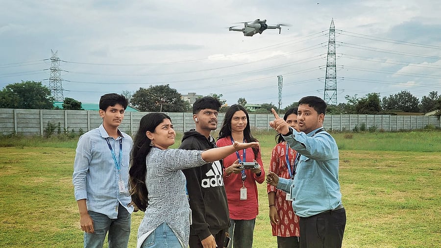
Drone regulations, experts say, depend on two factors: the machine’s weight, and where it is flown. Drones under 250 gm, categorised as nano drones, don’t require a licence, but must still be registered on the Directorate General of Civil Aviation’s (DGCA) DigitalSky online platform. “These can be flown only up to 120 metres,” says Ashwath Salunke of Fly India Drones, which conducts drone workshops at schools, colleges, corporate offices and defence establishments.
Becoming a licensed pilot requires training at a DGCA-approved academy, akin to a driving school. The licence costs between Rs 35,000 and Rs 65,000. The cost is a deterrent for many and is a reason for widespread unauthorised use of drones, notes Srihari Karanth, a DGCA-certified drone pilot and photographer. Applicants must be between 18 and 65 years of age and have passed Class 10.
The DigitalSky platform categorises Indian airspace into green, yellow and red zones. Green zones are areas beyond 12 km of airports, where drones can be flown up to 120 metres without prior permission. “But one must still watch out for red zones within green zones,” cautions Ashwini Gadve, a drone instructor at Aerophile Academy, J P Nagar. Red zones are strict no-fly areas unless specifically exempted for government or special projects. These can include areas within 5 km of airports, up to 25 km from international borders, defence bases such as Yelahanka and Jalahalli, and high-security locations like the Vidhana Soudha. The sites for rallies or political events can be marked as “temporary red zones” on DigitalSky for up to 96 hours, she adds.
Yellow zones fall within 5-12 km of airports: the inner ring (5-8 km) requires permission from both the concerned Air Traffic Control (ATC) authority and DGCA, while the outer ring (8-12 km) requires clearance from ATC and the local police. In both, the flying height is capped at 60 metres.
Technology adds another layer of checks. DJI, the most widely used drone brand, comes with built-in geofencing that “locks” drones from taking off in red zones like airports, points out Salunke. Other brands, he adds, merely display a warning.
DGCA approvals can take up to a week, Karanth says. He suggests an alternate portal where drone pilots could apply directly to jurisdictional police to film events on short notice, such as a victory march. If one has received DGCA clearance, he advises informing the local police in person about it on the day of the shoot. “Otherwise, if you are spotted shooting, they may enquire about your permissions and call higher-ups to confirm, which can delay your schedule,” he explains.
According to Suman Pennekar, deputy commissioner of police (intelligence), one can be booked under sections 207, 287 and 329 of the BNS (Bharatiya Nyaya Sanhita). These pertain to disobeying public order, negligent acts and criminal trespass. “These are bailable sections,” she says.
Look up digitalsky.dgca.gov.in/ airspace-map