
Bengaluru: People can now access key information about highways connecting Bengaluru, amenities near them and essential contacts with ease.
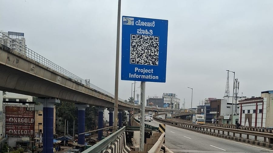
The National Highways Authority of India (NHAI) is placing QR code boards along four highways connecting the city.
These boards have already been placed on the Bengaluru-Nelamangala stretch of NH 48 and the Bengaluru-Kolar-Mulbagal stretch of NH 75. Work is underway to install them on two more stretches — the Bengaluru-Hyderabad stretch of NH 44 and the Dobbspet-Devanahalli-Dobbspet-Hoskote section of the Bengaluru Satellite Town Ring Road (NH 648) — within a month, an NHAI official said.
When scanned, the QR code provides details about the stretch (length, construction and maintenance period), nearby toll plazas and contact numbers, wayside amenities such as restaurants, service stations/e-charging points, rest areas, petrol pumps, toilets, nest areas, puncture repair shops, truck lay-bys, emergency contacts (highway patrol, resident engineer, police station, project manager, etc), and hospitals among other information.