
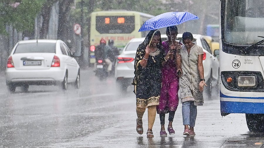
Girls enjoy the rain at Seshadri Road on Thursday.
Credit: DH PHOTO/Prashanth Halale
Bengaluru: After a prolonged dry spell and extreme heat, Bengaluru experienced moderate rainfall on Thursday in several areas.
According to the India Meteorological Department (IMD), the pre-monsoon showers are expected to continue for another day, bringing further relief from the heat.
IMD data recorded 22.4 mm of rainfall at the Kempegowda International Airport (KIAL), 4.3 mm with thunderstorms in Bengaluru City, and 38.8 mm at the HAL Airport until 5.30 pm on Thursday.
N Puviarasan, head of the Bengaluru Met Centre, attributed the rainfall to a trough at the lower level from Lakshadweep to Konkan at 0.9 km above mean sea level, along with an upper-level deep westerly trough.
"This synoptic condition is favourable for rainfall in Coastal Karnataka, South Interior Karnataka, and parts of North Interior Karnataka. The cloudy skies have also contributed to a temperature drop,” he said.
The maximum temperatures recorded were 28.5°C at Bengaluru City, 30.4°C at KIAL Airport, 28.3°C HAL Airport, and 29.3°C at the Bengaluru Automatic Weather Station. These temperatures were 4-5°C below normal for April.
IMD predicts that while rainfall in Bengaluru is expected to end by Friday, maximum and minimum temperatures will likely hover around 29-30°C for the next two days.
Puviarasan added that Coastal Karnataka and some districts in South Interior Karnataka could see rainfall until April 7. However, Bengaluru is likely to receive moderate rainfall again after a week-long dry spell.