The city on Sunday experienced rainfall measuring about 3.5 mm up to 5.30 pm.
The India Meteorological Department (IMD) has forecast thundershowers which can range between 3 and 7 cm for the next two days.
According to L Ramesh Babu, IMD-Bengaluru director-in-charge, there is an east- west shear zone running along 14-degree latitude which is bringing rain to coastal and interior Karnataka. There is also an upper air cyclonic circulation over north west Bay of Bengal, off north Odisha coast, extending up to 4.5 km above mean sea level.
Babu said the conditions were becoming favourable for a low pressure area to form in the next 24 hours. So under the influence of this, rain is likely to intensify in interior Karnataka.
The city, up to 5.30 pm, experienced 3.5 mm rain. HAL airport recorded 1.3 mm and Kempegowda International Airport received 5 mm rainfall.
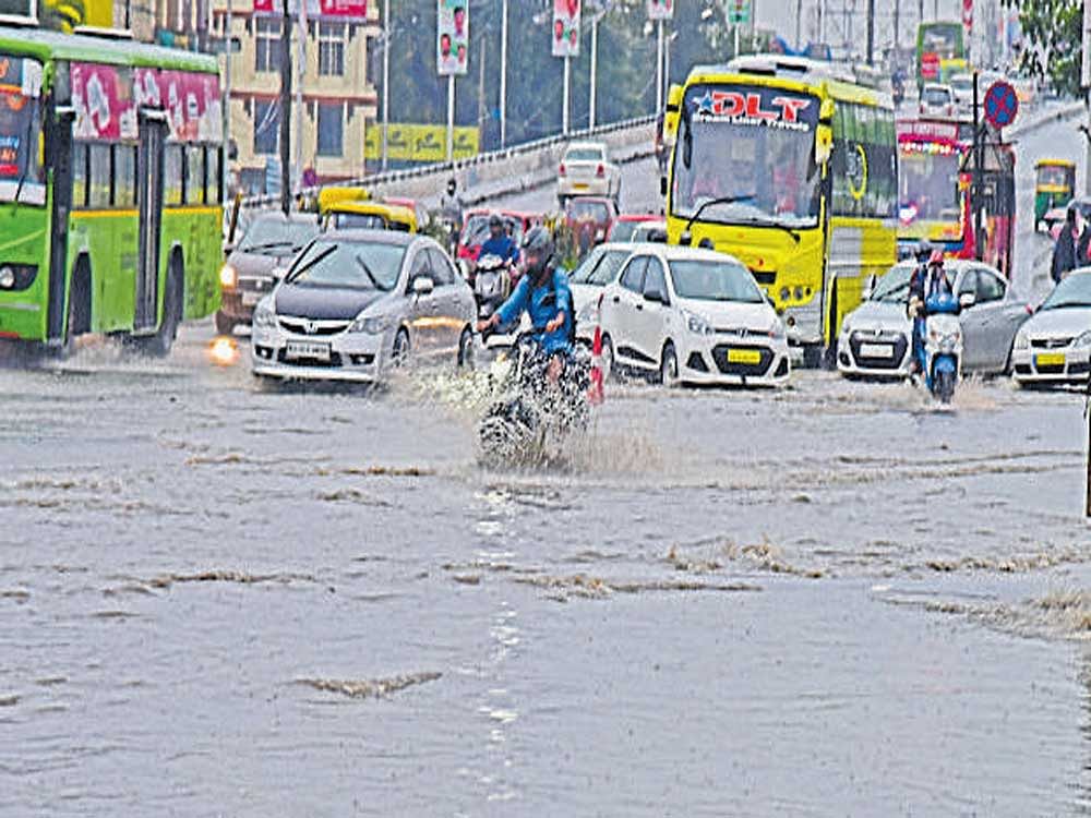
While the BBMP recorded water logging at Brigade Road Junction, trees fell at Banashankari 9th Main, Shantiniketan Layout, Arekere 2nd Main, Mico Layout and Johnson Market.
The rainfall and cloud cover also brought down the temperatures. The maximum
temperature in Bengaluru city was26.5 ° Celsius(two notches below normal),HALrecorded 27.2(onenotchbelownormal) and the international airport recorded 27 degrees.
According to IMD records, since June 1 the city has received 430 mm rainfall, which is 110 mm above normal and the HAL airport has received 405 mm rainfall, which is 136 mm above normal.
Deccan Herald is on WhatsApp Channels| Join now for Breaking News & Editor's Picks