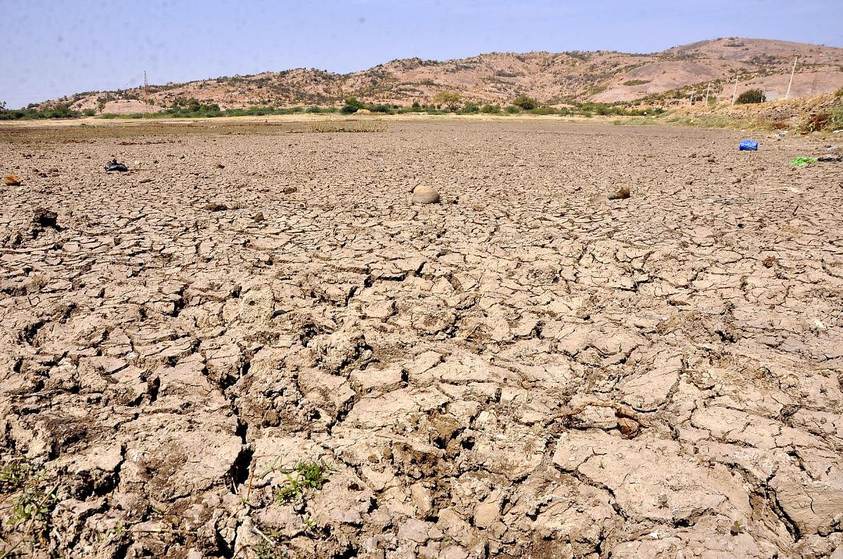
Karnataka is taking data-driven, science-based measures to tackle drought in a first-of-its-kind project funded by the World Bank.
Eleven drought-prone districts have been selected under the third phase of Sujala, the government’s flagship watershed development project, where interventions are
being made on the basis on meticulous land and water studies.
A consortium of 15 research institutions has developed land resource inventory (LRI) for nearly 14 lakh hectares.
Colour-coded maps drawn based on satellite imagery coupled with ground surveys will be used as a tool for drought-proof farming.
This allows farmers to choose the right kind of crop to be grown based on what suits their soil. LRIs are prepared for every micro-watershed area spanning about 500 hectares.
“Work on preparing the LRIs has been carried out for the last six years and we are now putting this to use,” commissioner for Watershed Development Prabhash
Chandra Ray said.
Sample this: Farmers under the Ashta-1 micro-watershed area in Kalaburagi district now have 36 different colour-coded maps of their land comprising details on soil content, depth, slope and recommendations on what they should ideally grow.
“For instance, we now know what part of the land is shallow, which means a farmer shouldn’t grow mango there,” watershed development deputy director Venkataramanappa explained.
Land resource cards
Around nine lakh farmers will receive LRI cards, an improvement over the soil health cards, having crop suitability and other relevant details.
A hydrology inventory is also being prepared.
This looks at rainfall data in a particular watershed area,
the water demand, percolation, runoff capacity and
so on.
“This will determine whether the watershed is deficient or surplus. If deficient, we can plan water harvesting structures. If surplus, we can go for water-intensive crops,” Ray said.
Authorities have started demonstrating the effectiveness of the data in 89 micro-watershed areas spanning 46,709 hectares in the 11 pilot districts. So far, 1,457 water harvesting structures — check dam,
nala bund, farm pond, percolation tanks — have been constructed strategically based on the data.
The data-driven approach replaces the earlier watershed management methods based on generic data. So, some water harvesting structures may have been built in areas that did not require them.
“We’re creating a digital library of the LRI that can be accessed by citizens. Also, a decision support system will go live soon to help farmers, based on one’s survey number, crop recommendations,” Ray said.
Water conservationist S Vishwanath hailed Sujala-3 for the possibilities it offered. “Karnataka was a watershed pioneer and we’ve had a lot of learning. A critical one has been demand management, which Sujala-3 can address if it formulates community participation,” he said.
Deccan Herald is on WhatsApp Channels| Join now for Breaking News & Editor's Picks
