

South interior Karnataka, interior Tamil Nadu and vast swaths of Uttar Pradesh and Bihar are likely to receive “below normal” rainfall in July, India Meteorological Department said here on Friday, while predicting “normal” monsoon for the country as a whole.
The well-marked deficiency in some of the areas that also include Punjab, Jammu & Kashmir and Assam is likely to be offset by the excess rainfall in the east coast, and central and western India, resulting in normal monsoon, the weather bureau said.
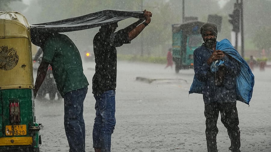
The forecast comes at the end of a parched June, which recorded a 10 per cent shortfall in monsoon rain for the country and 45 per cent deficiency in the southern peninsula.
A deficiency has also been recorded in central India (6 per cent) and the east and north east (18 per cent). Only the north west India has a bountiful monsoon with 42 per cent excess.
June rainfall picked up in the second half after the departure of tropical cyclone Biparjoy, which led to rain deficiency in nearly 400 out of 717 districts.
The weathermen said the average rainfall in July – crucial for sowing paddy, pulses, oilseeds, soya and sugarcane – would be in the normal range (94-106 per cent of the average).
“It will probably be between 100 and 106 per cent of the long period average of 280.4 mm,” said Mrutyunjay Mohapatra, director general at the IMD.
The forecast comes amid widespread apprehension about the impending El Nino with IMD’s own estimates revealing the chances of a strong El Nino developing in July.
El Nino is a climate pattern that affects weather and consequently economies worldwide. It is marked by a warming of the sea surface temperatures in the central and eastern equatorial Pacific Ocean, typically beginning around Christmas.
The disruptive weather pattern is generally associated with a weak summer monsoon in India, though it is not a one-to-one relation. There have been 18 drought years since 1901, of which 13 were El Nino years, suggesting that 72 per cent of the drought years are associated with this phenomenon.